If you’re like many, sea surface temperatures may not be the first thing to come to mind when thinking about weather.
However, sea surface temperatures are one of the most important elements to consider when talking about the weather.
Why?
Because sea surface temperatures (SSTs, for shorthand) play a vital role in controlling the kind of weather that we experience.
Did you know that SSTs can even be a driving force behind such weather phenomena as hurricanes and winter snow?
Understanding Sea Surface Temperatures
Sea surface temperatures refer to either localized, regional, or global sea surface temperatures. Many sophisticated weather maps display sea surface temperatures.
In fact, it’s common now for many TV meteorologists to discuss and show SSTs during their forecasts.
This is especially the case when watching TV weather segments during hurricane season or if you are near the Atlantic, Gulf, or Pacific coasts.
So, what exactly is a sea surface temperature? Pretty much what it sounds like: the temperature at or very near the water’s surface.
How Are SSTs Measured?
 are often mapped so we can get a visual understanding of global SSTs. photo by kat m research on Flickr.") Buoys, satellites, and specially equipped vessels all measure SSTs.
Buoys, satellites, and specially equipped vessels all measure SSTs.
The actual sea surface temperature reading is affected by how deep the temperature is taken, so some inconsistencies may arise when comparing data from different sources.
Satellites have been used extensively for measuring and collecting SSTs since the 1980s. This has enabled scientists to get a better, broader picture of how SSTs are playing out across our planet.
Though satellites tend to measure data from only the very top of the ocean’s water surface (and not deeper, as do buoys and vessels), the totality of information collected by satellite measurements has proven very beneficial for furthering our understanding of global SSTs as a whole.
Buoys are distributed around the world. These buoys, many of which belong to the National Data Buoy Center, measure SSTs. Some buoys measure SSTs at a depth of around 1 meter, though this is not always a hard and fast rule.
Various types of vessels also measure the water temperatures. However, because each vessel’s thermometer is located at various relative depths, relying solely on vessels for measuring water temperature can lead to inconsistencies.
Sea Surface Temperatures & Hurricanes
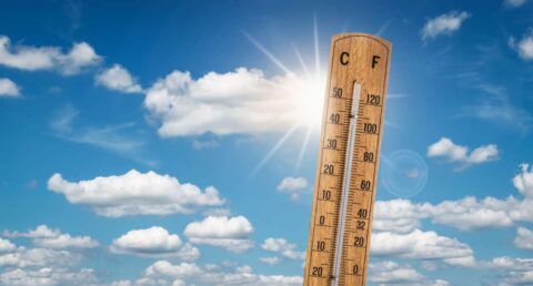
Anytime the sea surface temperature gets to about 80 degrees and above, the water is warm enough to support hurricane formation. Of course, upper level winds and other factors may hinder the development of a hurricane, but because warm oceans are the prime ingredient of hurricane formation, SSTs are closely monitored throughout the year.
In general, the warmer the water is, the more likely hurricane development is and the stronger the storms get. The waters in the tropical Atlantic, for example, routinely reach 85 to 90 degrees during the summer and, thus, can generate and support a number of tropical storms and even severe hurricanes in a single season.
El Nino, La Nina & SSTs
You’ve probably heard about El Nino and La Nina. These weather phenomena refer to season-long or year-long sea surface temperature trends that are observed in the tropical Pacific ocean. El Nino and La Nina result from natural, oscillating cycles that span over 3 to 5 years.
The impacts of El Nino and La Nina differ depending on where the symptoms are measured.
In fact, even across the U.S., El Nino and La Nina can mean very different things for various regions.
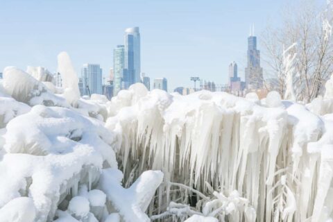
An El Nino winter may spell record-setting rain or snowfall for the Southeast but can drier than average elsewhere in the country, warm winters in the North, and fewer hurricanes forming in the Atlantic.
La Nina, on the other hand, may mean heavy snowfall for the Northwest and in other normally wet regions but drier elsewhere. La Nina years also tend to mean an increased chance of hurricanes impacting the United States.
Numerous other impacts are noticed, too.
SSTs & Global Warming
Scientists are still not sure about all the links between global warming and SSTs, El Nino, La Nina, and many other weather phenomena we observe. However, it’s true that, in general, the warmer things are, the wetter and stormier things are, too.
If SSTs are increasing because of global warming, then we can imagine that we’ll be seeing more snow in the winter (in some areas), stronger and more frequent hurricanes, the continuation of melting sea ice, and many other changes, too.
While we still don’t have all the answers we want or need to conclusively determine what’s happening and why in regards to SSTs and global warming, what we do know is that warmer SSTs are going to spell a number of alterations to the otherwise ‘normal’ patterns meteorologists and other scientists (and the rest of us) are accustomed to viewing.

I'm a weather geek from Florida who's been studying meteorology and watching weather patterns for years! I enjoy sharing little-known facts and fun stuff about the weather. I especially like sharing interesting details about weather events and conditions that can affect you… and how to prepare for Mother Nature's ever-changing weather patterns.