Articles Tagged:

Weather Maps

Getting a good temperature forecast is easy with this great online weather tool...

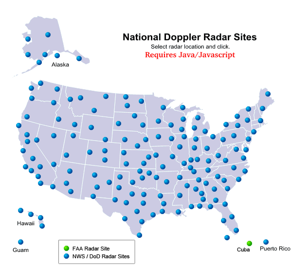
The National Weather Service satellite radar allows you to view cool images of the weather affecting your region. Plus, thanks to NASA satellite photos on the Internet, everybody now has the chance to understand more about our weather and take a look at some pretty cool images!

A weather model is one of the most important tools in making a weather forecast. Now you can make your own weather forecasts using weather models from the National Weather Service!

You might know about Ben Franklin the inventor, but how about Ben Franklin -- weather pioneer? Yes, Ben Franklin contributed many things to meteorology. His studies of weather patterns and other meteorological phenomena helped further our understanding of weather, with many of his theories and observations withstanding the test of time.

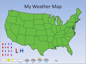
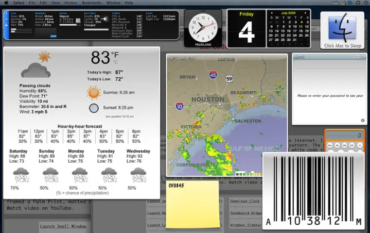
Following are some fun website tools to enhance your blog with weather trackers, weather widgets, and other weather gadgets. Want to show the local forecast on your blog? You'll want one of these! Want to customize it too? Check here first.

It's one thing to look up at the lcouds from the ground. It's another to know how high those clouds are and how many layers of clouds are up there. You can figure that out with a quick glance at a cool weather chart called a SkewT.

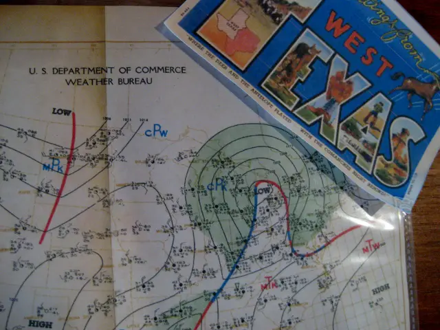
Ever wonder what all of those numbers and symbols on weather maps mean? Here's what you need to know and how to read a weather map...

Do you want to track the big thunderstorms just like the pros? You can using the links found here!

Need a good local forecast? Planning a trip and need to know how to pack? Want to see some nice weather maps? This is your article!