Look up in the sky during a hot summer day and you may just see a tall anvil cloud towering high into the sky.

Why do anvil clouds form?
Where are they found?
And why do they become thunderheads?
These are all things I used to wonder about, too. But I’ve got the answers for you — and you may just be surprised by the amazing facts behind the anvil cloud!
Why Anvil Clouds Have Flat Tops
I believe when many people think of an anvil cloud, they’re probably referring to any tall cloud with a flat top.
But what really makes an anvil cloud a — well — anvil cloud, is that the cloud towers high into the atmosphere, where strong winds carry the top into a solid, elongated form.
They resemble the silhouette of an anvil. You know, those odd-looking devices used my metal workers to shape and form objects.
Oh, and one cunning cartoon coyote was fond of using anvils when trying to clobber a particularly evasive roadrunner!
But where was I? Oh, yes anvil clouds…
They’re also known as cumulonimbus incus or thunderheads, and they can grow to heights of nearly 75,000 feet. However, most top out between 10,000 and 55,000 feet.
The height of an anvil cloud is guided by the so-called equilibrium level, which is the height where a cloud is as dense as its environment and the parcel of air consumed by the cloud has past the point of being buoyant.
However, when it comes to anvil clouds, that equilibrium level is frequently capped off by the tropopause, which is the boundary just below the stratosphere. The tropopause changes in height throughout the year and over various parts of the Earth.
Generally, the tropopause is higher in the summer than during the winter, as the atmosphere is thicker during the warm months. It’s also higher over the equator than it is near the poles.
This can help explain why you’re more likely to see a towering thunderhead during the summer in more tropical or subtropical locales than you are a massive anvil cloud over the middle latitudes in the heart of winter.
So, what causes an anvil cloud to grow so tall in the first place?…
How Anvil Clouds Form
Before we get into how anvil clouds form, let’s take a little refresher course on how clouds in general form…
Clouds form when rising air takes moist air to a point where it is saturated and can no longer hold the water vapor within it.
When this happens, little particles in the air — like dust or ash — provide surface area for the water vapor to become liquid droplets (a process known as condensation) or solid ice crystals (deposition).
These accumulations of liquid droplets or ice crystals become clouds.
So how do anvil clouds form?
These cumulonimbus incus clouds are the result of tremendous convection (or lift) in the lower atmosphere, in which cloud tops are carried to the top of the troposphere.
The terrific height, density, and turbulence of these clouds usually signal severe weather.
Anvil clouds indicate a mature thunderstorm. This gives rise to the thunderhead moniker usually attached to anvil cloud formations.
Are Anvil Clouds Dangerous?
Oooh, you better believe they can be!
It’s not the clouds themselves that are dangerous per se, but the type of weather they can cause.
Anvil clouds signal a variety of bad weather conditions, such as:
- Lightning — Thunderheads earn their nickname from the incredible lightning they can produce. Lightning bolts may reach from cloud to cloud or cloud to ground and is extremely dangerous. Remember, lightning may strike from as far as 25 miles away from its parent thunderstorm. Think about that for a second… If you can hear thunder, you’re close enough to be struck by lightning. No ifs, ands, or “but five more minutes on the beach” about it!
- Heavy rain — Anvil clouds can drop as much as 3 or 4 inches of rain per hour (sometimes even more!), causing localized floods and standing water. This can inundate low-lying areas with pools of rainwater that may be dangerous to drive through or could even infiltrate your home.
- Hail — Updrafts within anvil clouds can cause water droplets to freeze into hailstones that can be thrown from the top of the cloud down to the ground. Hail can render serious damage to property and injury to people and animals.
- Strong winds — Thunderheads can generate gale-force winds that can damage buildings, down powerlines and trees, knock over fences, and cause other mayhem. Downbursts, which are extreme downward winds jettisoned from the bottom of a cumulonimbus incus, also occur. A downburst is capable of knocking planes out of the sky and can wreak serious havoc on the ground.
- Tornadoes — Tornadoes aren’t necessarily caused by the presence of a cumulonimbus incus itself, but they can be spawned from supercell storms that arise from anvil clouds.
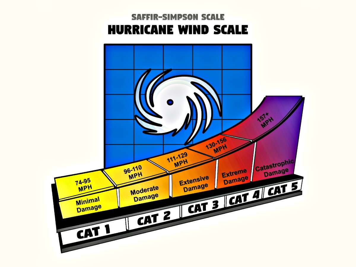
I should also note that while anvil clouds don’t themselves produce hurricanes, they are frequently found in these menacing tropical cyclones. You’re likely to find the tallest anvil clouds surrounding the eye of a hurricane or tropical storm or very near the eye wall.
Another spot where you’re likely to locate cumulonimbus incus in a hurricane or other tropical system in the northern hemisphere is in the northeast quadrant, where some of the very worst weather is usually found.
All in all, I don’t much like being anywhere near cumulonimbus incus — but I sure do love admiring them from afar!


